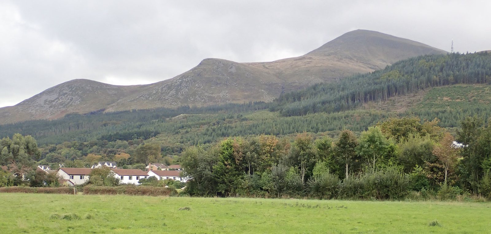
County Down at its highest
Slieve Donard is County Down's high point, the highest Mourne summit and the highest ground in Ulster. It brings the county challenge to the granite mountains above Newcastle, where the uplands meet the Irish Sea. For people arriving from Mourne Guide, this will be a familiar starting point for a wider all-island project. The other counties introduce very different landscapes, so a Donard outing is one chapter rather than a template for every high point.
Before you go
Plan your visit
Use a dedicated Mournes map and a current description for your chosen Donard approach. High Point Ireland recommends OSNI Discoverer Sheet 29, the OSNI Mournes activity map and Harvey's Mournes map. Check which summit location and height convention your reference uses before recording the ascent. Plan the return as carefully as the climb, and consult current Mourne access and weather information instead of treating Newcastle's conditions as a forecast for the upper mountain.
Check before travelling
Local notices and access can change. Read the current source before setting out.
Use a current detailed map, check weather and access, and choose a route within your experience. Plan a hill day →
Sources and further planning
Source observations: 15 October 2026. Access and closures can change; check the linked operator before travel. Heights follow the stated list convention.