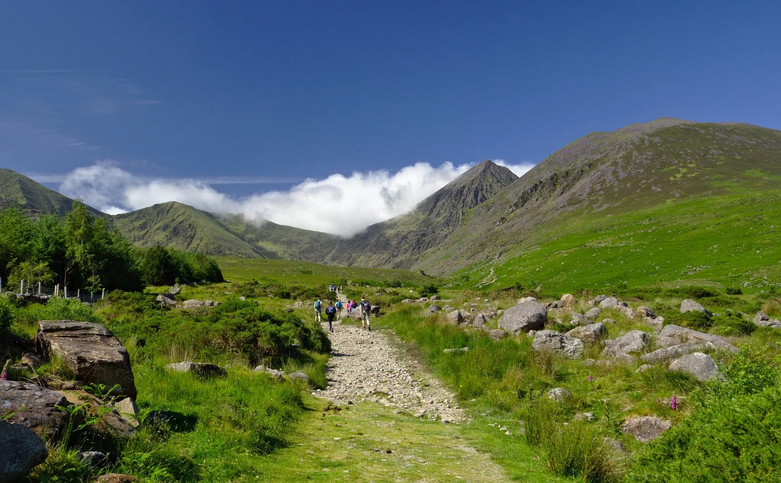
Kerry · 1,039m
Ireland’s highest mountain
A mountain day in the MacGillycuddy’s Reeks.
Carrauntoohil →Find the highest point in all 32 counties of Ireland. Plan your next hill day, keep track of your progress, and make the journey your own.
Six places to begin · Explore all 32 in the county finder
| County | High point | Elevation | Province | Guide |
|---|---|---|---|---|
| Down | Slieve Donard | 850 m | Ulster | Down |
| Kerry | Carrauntoohil | 1,039 m | Munster | Kerry |
| Wicklow | Lugnaquilla | 925 m | Leinster | Wicklow |
| Mayo | Mweelrea | 814 m | Connacht | Mayo |
| Donegal | Errigal | 751 m | Ulster | Donegal |
| Galway | Benbaun | 729 m | Connacht | Galway |
Shared summits, separate counties. Here’s how the list works →
Across the island
Kerry · 1,039m
A mountain day in the MacGillycuddy’s Reeks.
Carrauntoohil →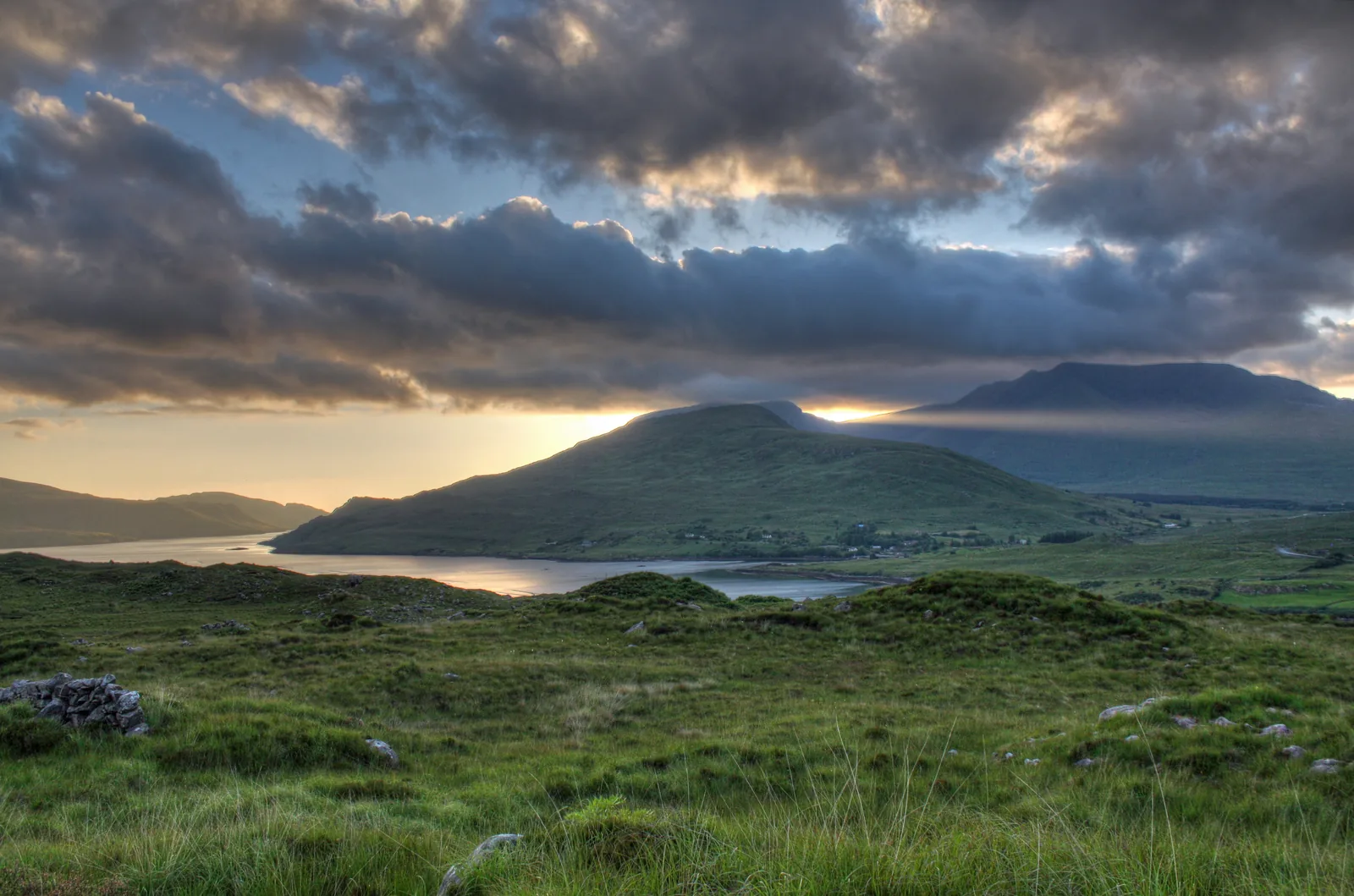
Mayo · 814m
Mweelrea above the waters of Killary Harbour.
Mweelrea →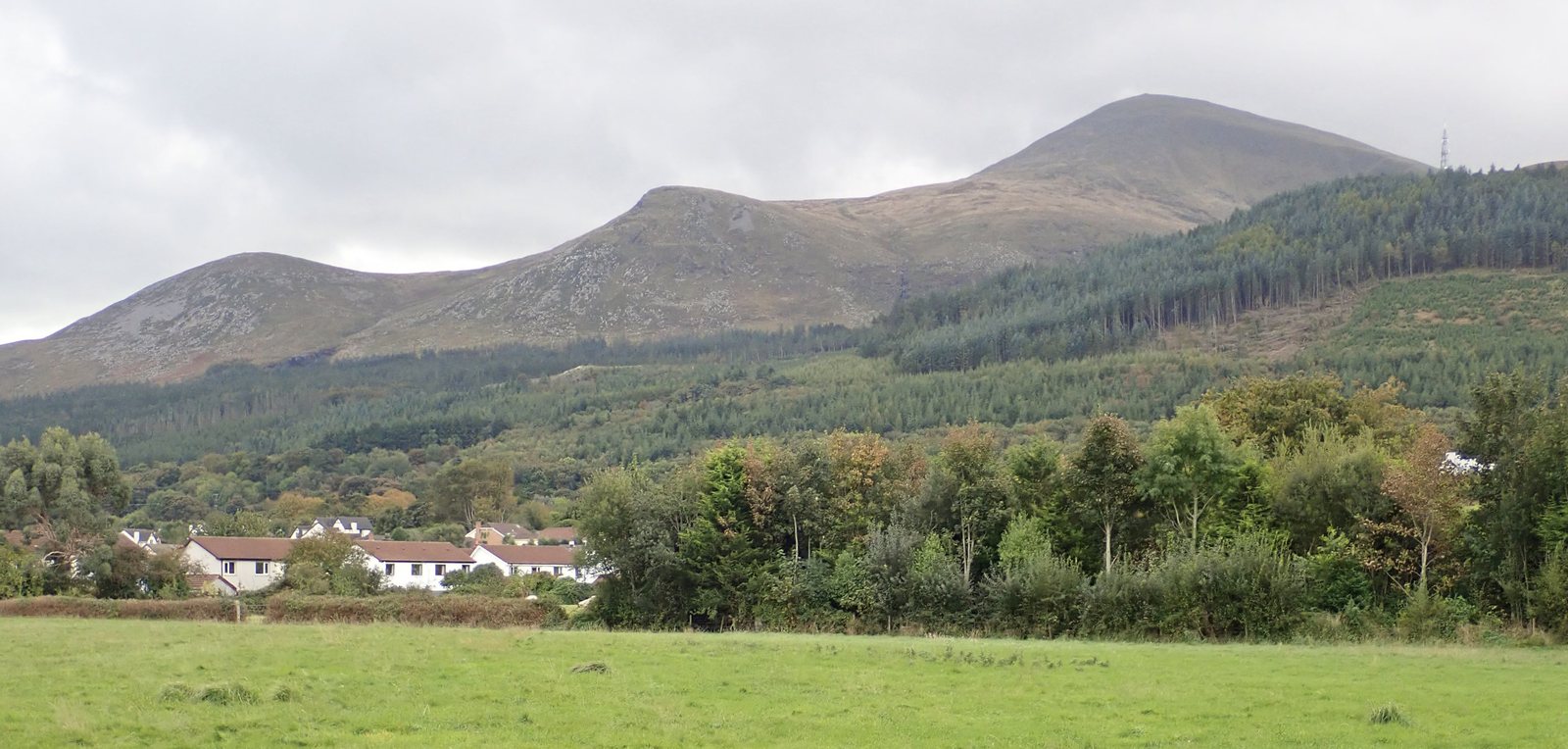
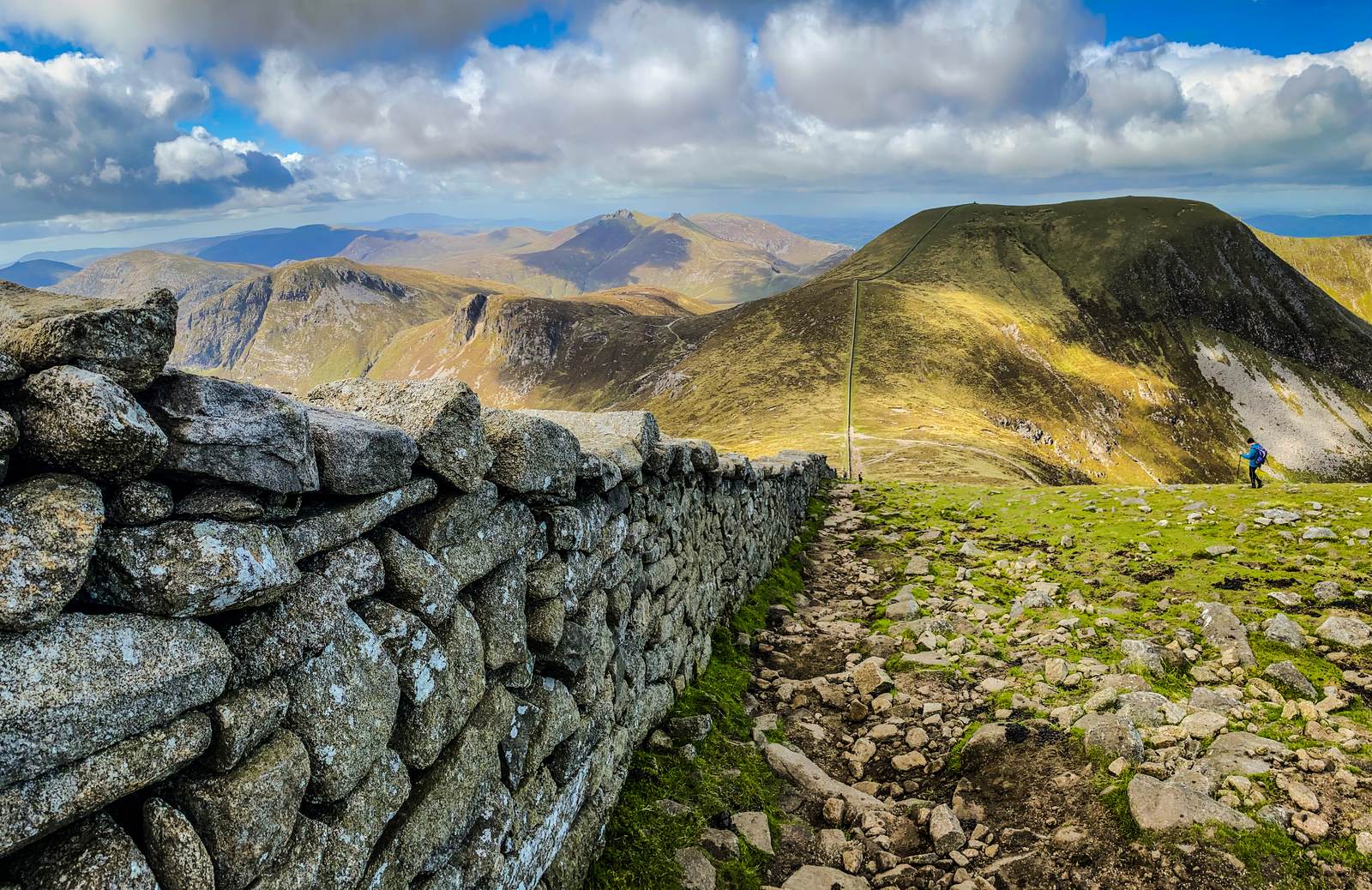
Down · 850m
Slieve Donard, the high point of County Down.
Slieve Donard →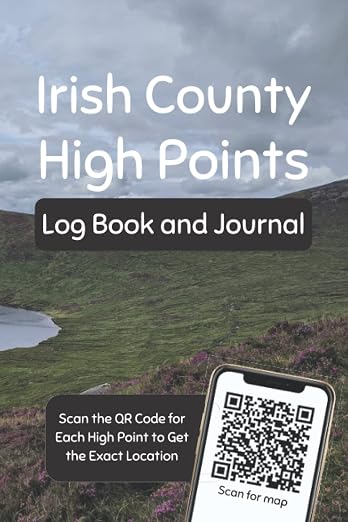
A place for the routes, the weather, the people and the moments you want to remember.
A logbook by Niall O’Rourke. Available on Amazon.
Choose a first county, build your confidence and enjoy the journey at your own pace.
Start here →Why the 32 county list contains shared tops, boundary slopes and a few important distinctions.
How the list works →Explore the lower end of the list, from wooded Westmeath to the heritage of Meath.
Explore the lower hills →Visit the highest ground in each of Ireland’s 32 traditional counties, including the six counties of Northern Ireland. Choose your own pace; this independent companion does not set a deadline or certify completion.
Start the challenge →There are 32 county entries. Five county pairs share a named high-point entry, giving 27 named groupings. Exact boundary ground can be more complicated: Arderin and Galtymore are not perfectly shared, and some counties have a slope or secondary top.
Understand shared high points →Kerry. Carrauntoohil is the highest point on the island at 1,039 metres in our stated list convention. Height is a geographic fact, rather than a route grade; plan a mountain day for your experience and the conditions.
Explore Carrauntoohil →Mullaghmeen in County Westmeath, at 258 metres in our list. The forest setting offers a different outing from the high mountains. A lower elevation does not establish an easy, accessible or unrestricted route.
Explore Mullaghmeen →