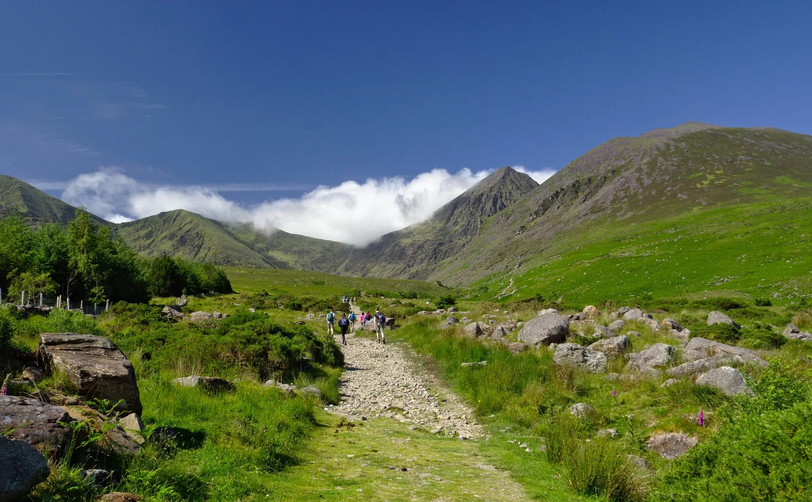
County Kerry at its highest
Carrauntoohil is the high point of Kerry, Munster and the island of Ireland. Within MacGillycuddy's Reeks, it gives the county challenge its greatest listed elevation and a mountain objective that deserves deliberate preparation. Its fame does not make it a casual tourist walk. Kerry Mountain Rescue's guidance is an especially valuable starting point when assessing experience, choosing an approach and deciding whether to walk with a suitably experienced companion or guide.
Before you go
Plan your visit
Read Kerry Mountain Rescue's current Carrauntoohil guidance alongside an appropriate Reeks map. The team describes the mountain as challenging, warns that the Devil's Ladder is loose and eroded, and stresses competent navigation and careful descent planning. It also states that dogs are not permitted. If your experience does not match the chosen route and likely conditions, arrange qualified guidance. Check current access arrangements for the starting point instead of assuming that popularity guarantees unrestricted access.
Check before travelling
Local notices and access can change. Read the current source before setting out.
Use a current detailed map, check weather and access, and choose a route within your experience. Plan a hill day →
Sources and further planning
Source observations: 15 October 2026. Access and closures can change; check the linked operator before travel. Heights follow the stated list convention.